The UK's Number One
 Geography Portal!!
NOAA Satellite Images of Countries
|
|
|
|
The UK's Number One
|
NOAA Satellite Images of Countries
|
|
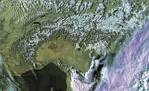
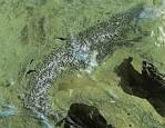
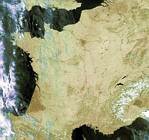
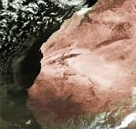
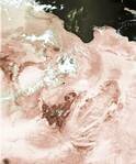
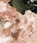
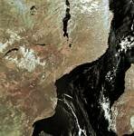
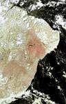
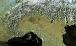
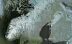
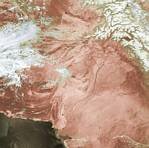
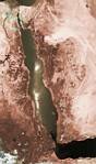
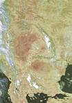
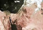
I have created these false colour images using data collected by NOAA polar orbiting weather satellites. The data has been decoded using a program called 'HRPT Reader' written by David Taylor. Collecting the images depends on finding days when there is a relatively cloud-free sky over the area of interest. The quality of the images varies but many show an incredible level of detail. Images may be freely used for educational purposes.
You can either:
Would you prefer these images on a CD for your network or stand-alone PC ? Click HERE for details.
|
|